

 Français
A first trek for everyone: four days of mountain refuges across the Belleville valley
-
 Sport and Leisure
Nature
Sport and Leisure
Nature
-
 3 min read
The Grand Tour de Tarentaise is a 240 km long-distance trail that circles the Tarentaise valley in Savoie, crossing several sectors: the Beaufortain, the Mont-Blanc massif, the Haute Tarentaise, the Plagne sector, the Vanoise, Les 3 Vallées and the Lauzière. A variant of this route follows the Belleville valley, starting from the hamlet of Preyerand, in Les Menuires. This four-stage route is described as suitable for inexperienced walkers: the days are long but involve no major technical difficulty, each stage climbs less than 1,000 metres of vertical drop, and accommodation each night is in a staffed mountain refuge.
In this section
Images
By downloading content, you accept the terms of use.

Resources
By downloading content, you accept the terms of use.
An introductory route at the heart of the Belleville valley
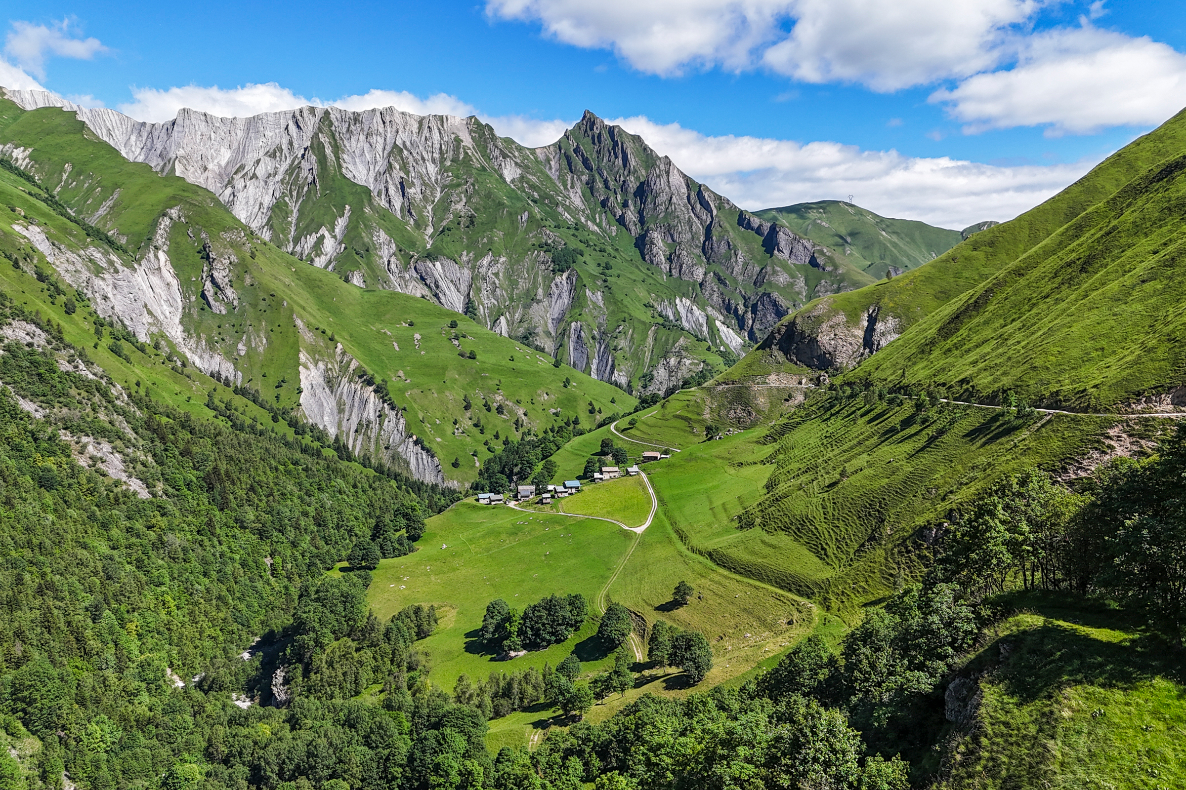
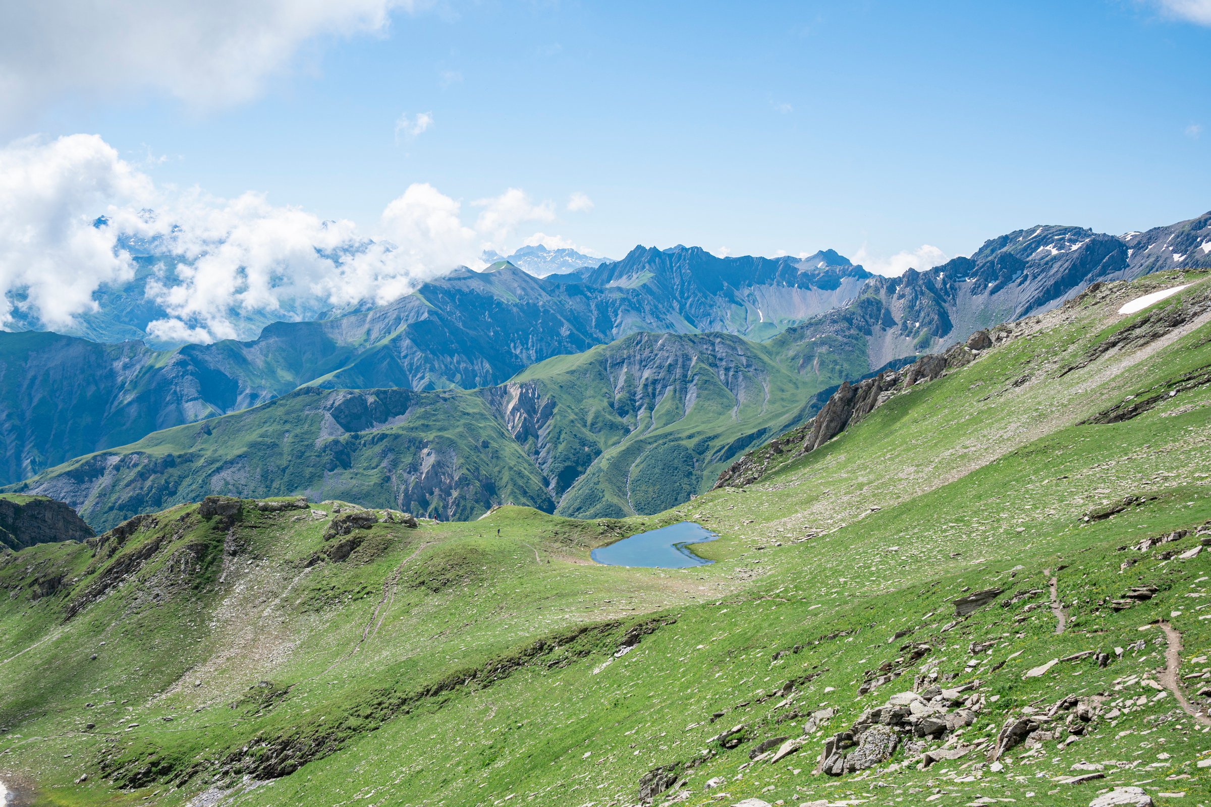
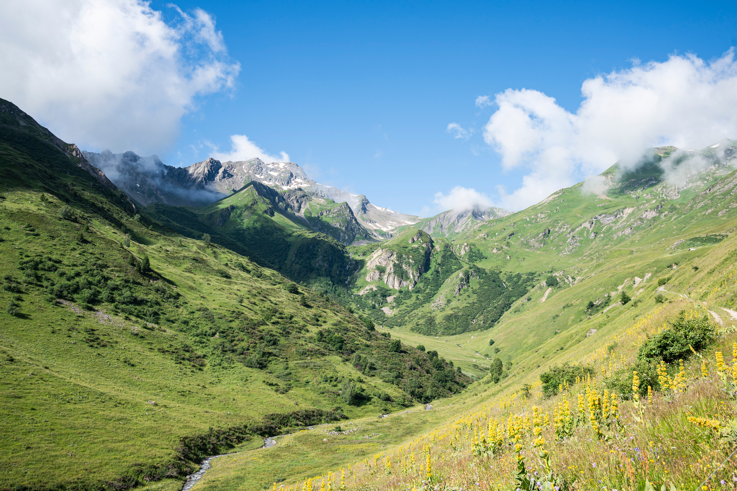
The route alternates narrow singletrack paths with wider tracks, passes dominated by rocky landscapes such as the Bonnet du Prêtre, and green, flower-filled valleys through the Paradis sector. This variety of terrain, combined with stages that present no major difficulty, makes it a route suited to a first mountain trek.
First stage: from Preyerand to Refuge du Lac du Lou
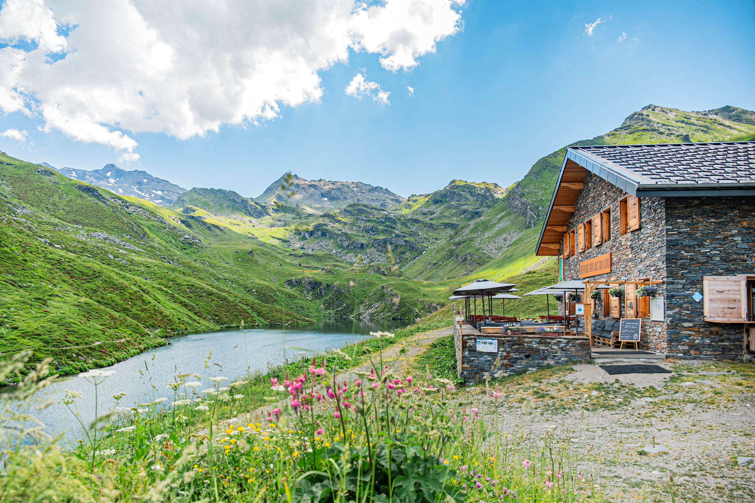
The first stage links Preyerand, in Les Menuires, to the Refuge du Lac du Lou in a 5-hour walk, over 11 km, with 700 m of vertical drop to climb. The refuge stands at 2,045 m altitude, between Les Menuires and Val Thorens, beside a lake with clear waters. It has 33 beds across rooms and dormitories, and is run by three wardens, Marie, Coralie and Jonathan, who cook meals from fresh, local produce and serve them on the terrace with views over the summits. With no light pollution, the Milky Way is visible from here.
Second stage: from Lac du Lou to the hamlet of Gittamelon
The second stage runs from the Refuge du Lac du Lou to the Refuge de Gittamelon in a 5-hour walk, over 14 km, with 660 m of vertical drop to climb and 1,020 m to descend. The Refuge de Gittamelon stands at the heart of the hamlet of the same name, in the Encombres valley, overlooked by the Aiguilles de la Moendaz. With 18 beds in a single, spacious dormitory, it has no telephone signal and serves home-cooked local dishes.
Third stage: to the Refuge du Plan de Lombardie
The third stage leads to the Refuge du Plan de Lombardie, in the Nant Brun valley, in a 6-hour walk, over 18 km, with 960 m of vertical drop to climb and 880 m to descend. The refuge stands at the foot of the Cheval Noir, the landmark peak of Saint-Jean-de-Belleville, and overlooks the Nant Brun, a stream whose name comes from the local dialect. The area is home to varied wildlife, including marmots. The refuge's warden, Emmanuel, serves wholesome, generous meals, in a setting free from light and noise pollution.
Final stage: the return to the valley
The final stage, 17.2 km long with 940 m of vertical drop to climb and 1,320 m to descend, brings walkers back down to the valley in 6 hours and 10 minutes (2 hours and 400 m more vertical drop to climb for Les Menuires). From the Refuge du Plan de Lombardie, a 1-hour walk comes before the first climb, towards the Plan des Queux and then the Daillat, before reaching the hamlet of Villarenger. This hamlet offers a stage with heritage character, including the cup-marked stone and a bridge of Roman origin. The path then climbs back up towards the Châtelard, near the Brava Vela microbrewery, before joining Saint-Martin-de-Belleville along a route that runs half on road, half on track. The return to Les Menuires can be made by a free shuttle or, for more experienced walkers, along a wide path beside the river.
Key points
- The route has four stages, covering a total of around 60 km and 3,260 m of cumulative vertical drop to climb.
- The Refuge du Lac du Lou, at 2,045 m altitude between Les Menuires and Val Thorens, has 33 beds and a terrace with views over the summits.
- The Refuge de Gittamelon, in the Encombres valley, has 18 beds in a single dormitory, with no telephone signal.
- The Refuge du Plan de Lombardie, at the foot of the Cheval Noir, overlooks the Nant Brun valley and is home to varied wildlife, including marmots.
- The final return to Les Menuires can be made either by a free shuttle or, for more experienced walkers, along a path beside the river.